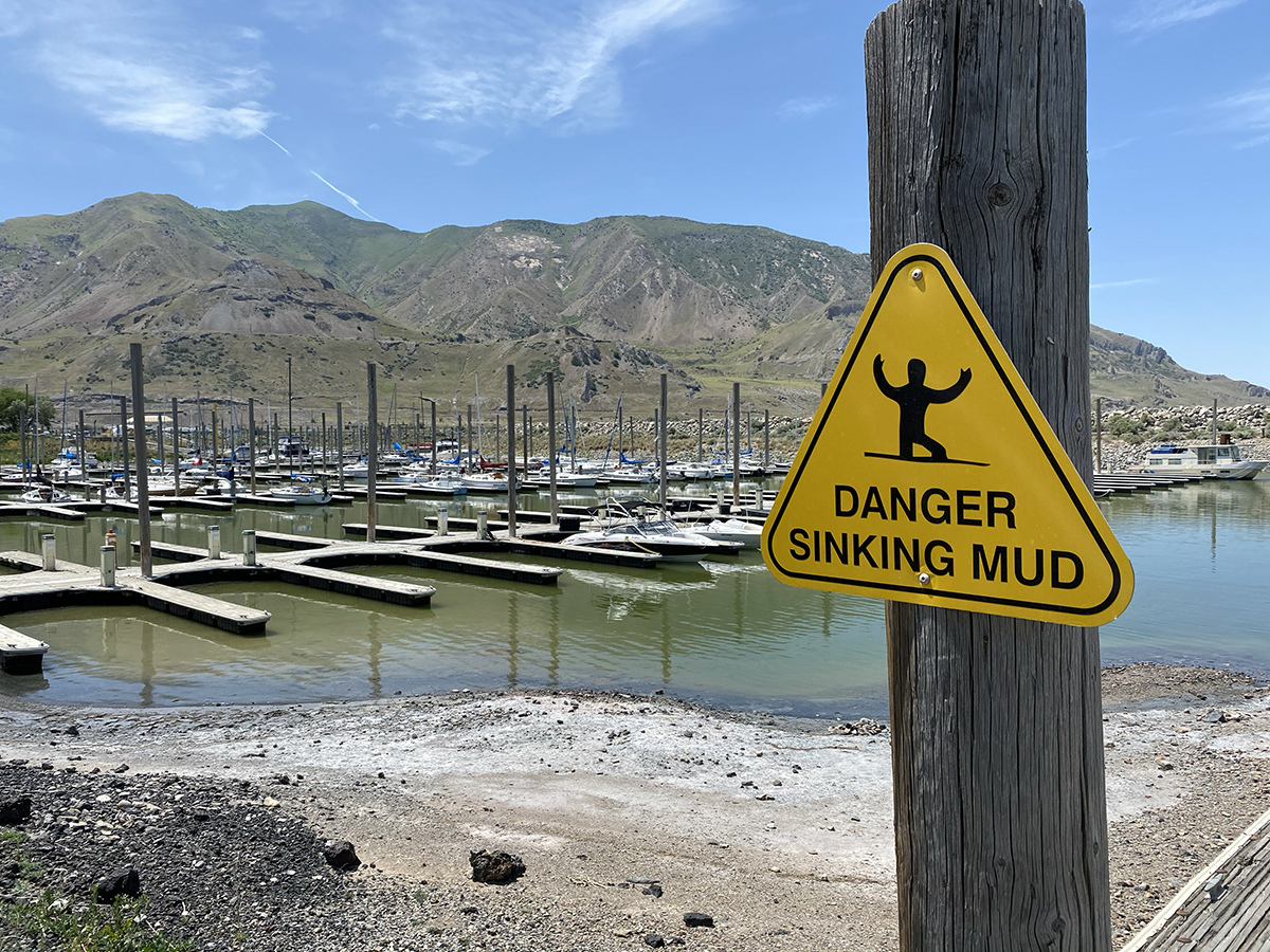
SALT LAKE CITY (June 24, 2022) – On July 3, the level of Great Salt Lake dropped below the October 2021 historic low elevation. This average daily surface water elevation, 4,190.1 feet, was measured at USGS station 10010000, located on the southern end of the lake and is associated with a data record dating back to 1847.
“Lake level data recorded at this gage has proven invaluable for resource managers and researchers working on Great Salt Lake during this dynamic time,” said USGS Utah Water Science Center data chief Ryan Rowland.
Based on historic data, lake levels will likely continue to decrease until fall or early winter when the amount of incoming water to the lake equals or exceeds evaporative losses.
“This is not the type of record we like to break,” Utah Department of Natural Resources Executive Director Joel Ferry said. “Urgent action is needed to help protect and preserve this critical resource. It’s clear the lake is in trouble. We recognize more action and resources are needed, and we are actively working with the many stakeholders who value the lake.”
Current drought conditions, water levels, weather forecasts, flood forecasts, and stream discharge, including rivers that flow into Great Salt Lake, are available via the USGS National Water Dashboard on your computer, smartphone or other mobile device. This tool provides critical information to decision-makers, emergency managers and the public during flood and drought events, informing decisions that can help protect lives and property.
# # #
USGS provides science for a changing world. Learn more at www.usgs.gov or follow us on Twitter @USGS, Instagram @USGS, or Facebook @USGeologicalSurvey